Taupō – Volcanic Zone and Identity Giver for the Maōri
Hiker and Guardian Angel
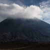
To me approaching Tongariro volcano complex is most impressive coming from north, through State Highways 41 and 47. First you get a marvellous view of Lake Taupo from #41, then, driving on #47, you bump into the sheer massy Tongariro north face of Tongariro as soon as the forest ends. In the light of the setting sun that view is literally breath-taking. Even after having visited Tongariro a couple of times that moment is still jaw-dropping for me and reminds me of the Te Maari craters that’s been pretty active back then.
Having arrived the youth hostel of National Park Village I bump into another mass, as the perceived half of Germany seems to have invaded the little hotel. Only a small shy Chilean pops slighty intimidated out of that Teutonic army. Most of my fellow Germans speak about things experienced, that is the Alpine Crossing hiking trail. Weather today was lovely, but the following day starts with dense clouds hanging very low even not permitting to get the merest glimpse of the mountains. However that doesn’t keep some bold people away from starting the hike. Well, the clouds speak a clear message and that means they will get soaked…
Tongariro Alpine Crossing is simply the most famous hike almost every New Zealand visitor does and even if you come to Kiwi Land a second or third time it is worth to walk it. I have to wait until the afternoon until the weather gets better. Apparently the weather gods heard my wishes and it clears up. Between 15 and 16 o’clock it’s also not a problem to get space at the car park up where the hike starts. My plan is to get new perspectives of Ngauruhoe and Ruapehu with my new super tele lens and stay overnight on the volcano, like I did in March 2013 inside the picturesque crater of Ruapehu.
Starting the hike in the afternoon means that ascending the mountain you’re not part of and obstructed by slow tourist groups. Also you can profit from the wonderful light of already low standing sun. To boot up on the plateau you won’t have much people in your photos as they’re all already gone. Quite a motivation, isn’t it? With that motivation my feet take me onto the mountain even quicker than expected while sidelight starts to touch the volcanic scenery and its cones gently.
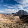
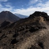
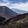
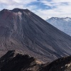
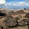
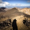
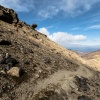
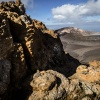
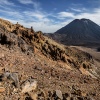
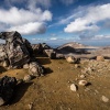
The way up to the summit of actual Mount Tongariro is a bit off the beaten path and offers some spectacular views of the Blue Lake as well as the hiking trail leading along Te Maari craters down to Ketetahi hut having the same named hot springs. The setting sun makes the colourful rocks along the way appear glooming and also it sets the stage for the basin between Ngauruhoe and Tongariro, that looks marvellously contrasty. It’s a dream for every wide angle lens. aving reached the almost 2000 metres in altitude measuring summit of Tongariro a stunning panorama opens up when you look along the Ngauruhoe cone towards majestic Ruapehu volcano that still shows patches of glacial ice near the crater rim.
Ruapehu looks smaller but is much taller than Tongariro and Ngauruhoe. That also means that those mountains stand pretty much exposed about New Zealand’s northern island. That makes them prone to every kind of weather change, what happens often as New Zealand lies in the Roaring Forties. And that is exactly what I am feeling during ascending the steep slope leading to Red Crater. During my stay on the ridge between Red Crater and Tongariro the wind freshens massively and becomes very cold. Well, seems like the forecast down in the village does not meet the real world today as gusts are not wind force 1-2, they are 7-8 strong. They are strong enough to bring you out of balance. That destroys my plan to spend the night on the volcano as with dropping temperatures, no warm sunlight and strong wind I would get a severe problem at night. With a heavy heart I start to return where I came from. It’s more a stumbling than hiking down the wonderfully steep Red Crater ascent as the sun is about the set. There, in the wind shadow of a large rock, I hear someone groaning. It’s hard to believe my eyes but there’s young chap lying on the ground huddling. Then things go quick… I take his cell phone and dial 111. While I report this emergency I see two persons walking down in the basin. I take my mountaineer whistle and use it as if there’s no tomorrow. Adding some light signals brings me the attention I needed, the help I needed.
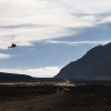
Meanwhile the doctor on the phone tried to make a remote diagnosis. He wasn’t really happy that I gave the huddling chap an IBU as well as some salted water, however, after a few minutes circulatory was kind of back and talking was possible. The two people I saw down in the basin spurted up the slope while the doctor passes me over to the pilot asking what the terrain looks like up there. Precise, like I learned it as paratrooper, I brief the pilot about terrain and wind conditions. There is not the merest space for landing or abseiling hence we have to bring the guy down to the basin.
