Whooper Swans and Volcanoes – The Northeast of Iceland
Iceland’s fourth biggest town Akureyri is the gate to the island’s spectacular Northeast. Highlights like the majestic Goðafoss, the still pretty active Krafla volcanic region are waiting to indulge your senses as well as the picturesque town of Húsavík. Being located on a wide bay and on the opposite side of snow-covered peaks, it is offering the best opportunities for whale watching in Iceland.
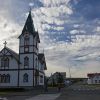
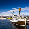
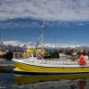
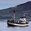
Once the lovely fishing town of Húsavík played an important role in Iceland’s fishing industry; today, slowly but definitely more and more, tourism is taking over the rudder. Being located at the Eastern Skjálfandi bay and in front of the snow-covered mountains of Víknafjöll, Húsavík is Iceland’s number one place for whale watching. Two families are attending to that business; their flags are unmissable fluttering in the city centre, right at the entrance of the harbour and not far away from tourist office and the church.
The whale watching tours are lasting about 3 hours and are rounded off by a cup of hot chocolate and some Icelandic pastries. The most common whale in the Skjálfandi bay is undoubtedly the minke wale, which on the other hand disappears quite quickly after breathing. You won’t see, not to mention photograph much of them since only their spout and the fin are visible for a short moment. However, the captain definitely seems to have still whaler blood running in his veins; he’s quite able to guess the next whale appearance and to head his boat into that direction.
When her blouse doesn’t run amok, then the lady of Húsavík’s Tourist Information Center will gladly take all time of the world to explain you what to see and to do in the fishing town’s proximity. Also having some phone calls around for further information first-hand or finding accommodation is not a problem for her; not at all. One of her most given advices is to have a closer look at the northern regions; an area of lush meadows and quite rich in bird species; a dreamland not only for farming but also for huge swarms of whooper swans and grey goose.
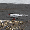
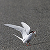
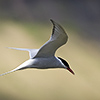
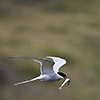
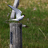
But be aware of Arctic terns. Often their breeding areas are hidden and suddenly you find yourself attacked by 200-300 birds. By a sharp sound they announce that soon they will plough your head hair. By the way, those small birdies are migrating between northern and southern hemisphere; they fly about 20.000km a year.
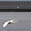
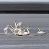
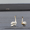
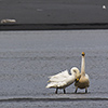
Watching goose or whooper swans definitely needs patience. The flight distance of those animals is colossal and a league of its own; if you are good, then you make it to get as close as 300 meters. Small groups of whooper swans often cross the gravel roads flying low-altitude. Those animals are highly focused on their partner and whenever they meet again they hold a welcoming ceremony, even if the partner was only 40-50 meters “far” away. It’s very beautiful to see that.
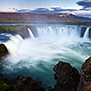
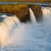
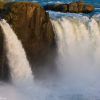
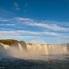
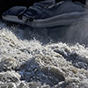
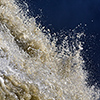
One of the most accessible and beautiful waterfalls of the country is also in the North-East. The northbound Goðafoss is only about 500 meters south of the ring road 1. At midnight sun our central star sends an amazing sidelight straight over the North Pole and right into the bowl of the fall. Is there a better place to bury one’s old Gods? That idea must have been in Þorgeir the law speaker’s mind as well, when he threw the pictures of the old Norse Gods into the Goðafoss. After that, back in 1000 AD, Christianity became state religion. An action that was name giving as Goðafoss means waterfall of the Gods. When photographers coincidentally meet, then it often it ends up in a battle of material and “I am having the longer one” talks. The passion for light gives way to pecking order, especially when the photographers are Germans. Both we enjoyed the sidelight and the moment. Thanks that I could meet you Henry.
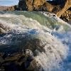
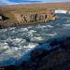
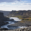
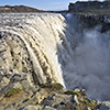
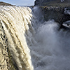
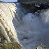
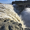
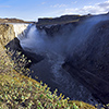
Heading east from Goðafoss another waterfall will come in sight. The Jökulsárgljúfur national park is the home of the Dettifoss, where it lets the waters of Jökulsá á Fjöllum river fall down a 100 meters deep. With an average power of 85 megawatts it is Europe’s most powerful waterfall as it’s slightly more powerful than the Rhine Falls near Schaffhausen. The Dettifoss is fed from glacial water that is rich of sediments coming from the Vatnajökull massif. Before flowing into the Arctic Ocean it is falling down two more times, at the Hafragils- and Rèttarfoss.
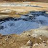
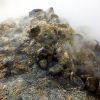
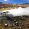
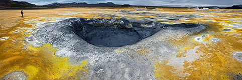
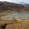
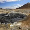
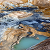
The huge and extraterrestrially looking lake Mývatn is in the centre of a highly active volcanic region. Quite close are the solfataras of Námaskarð/Námafjall and their big stinking fumaroles. Relentlessly a literally breath-taking mix of hydrogen sulphide and hot steam hissingly emerge from the surface. The whole scenery is interspersed by bubbling and simmering mud volcanoes.
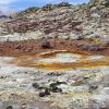
Everywhere around there is volcanic gas rising from the ground, also from the nearby mountains. Its sulphuric efflorescences are painting these rhyolite rocks in all possible colours; the whole landscape appears as if you would be on a different planet. Only the blue sky is still a fix point, indicating that you are definitely still on planet Earth. The flood of colours is amazing and looks like as if God lost his paintbox while creating… No surprise that Jule Verne’s entrance of his Journey to the Center of the Earth can be found in Iceland, the Snæfellsjökull.
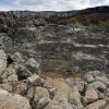
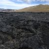
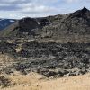
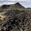
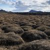
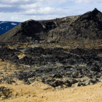
Technically the solfataras of Námaskarð are belonging to the wide Krafla region. Technically seen the word Krafla stands for a single volcano “only”, but due to the entire region being volcanically active since 1724, the volcano evolved to be a name giver as well. One of the two Viti craters is located in that area. In Icelandic Viti means hell or hell on earth. Icelanders are accustomed to volcanism; Viti, such a naming should emphasise what kind and strength of power once appeared there. The landscape is dominated by still smoking massive and wide lava fields, being as high as a house in some places and having very deep and sudden fissures.
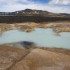
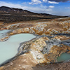
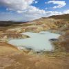
Before getting to one of the main craters the path leads to Leirhnjúkur, a further, but substantially bigger mud volcano. Its size is like the latest village pond you have seen; the water is milky and slightly acidic. From the surrounding mountains there is smoke soaring into the air as well; the palagonite rocks around are heavily discoloured. The last Krafla eruption dates back to 1975 and lasted 9 years, ending in 1984.
The energy of the Earth is only waiting; even today the volcanic activity of 1974 didn’t fully stop, activity is clearly noticeable almost everywhere in the whole region. Rubber soles become singed when walking on a path through a landscape full of penetrative fume and countless fissures, framed by razor sharp rocks. In short, there is still music in the air and under your feet as in some places the Earth’s crust the Krafla region measures sometimes 50 meters only…
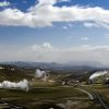
Of course the Icelanders are taking advantage of the Earth’s energy. So they did at the Krafla, when putting up one of the youngest (and also quite soon most powerful) geothermal power plants. When drilling for the first time near Viti crater workers hit a blowhole, what lead to an immense explosion. By miracle nobody was hurt, but parts of the drilling gear were found about 3km far away… The thermal energy of that single borehole could have provided the same energy, which nowadays is delivered by all in all 17 boreholes.
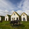
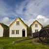
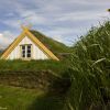
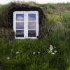
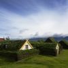
In the West of Akureyri and south of Sauðárkrokur another gem, the cute turf houses at Glaumbær can be visited. These petite houses, with their narrow front doors and white gables are connected amongst themselves by a small passage. Further south, in the town of Víðimýri, you can even find one of Iceland’s last turf churches.
In Iceland’s North-East a refreshing and authentic Nordic landscape awaits you. Its rough natural beauty and wildness not only deeply impresses, it captivates for a life time. Everybody, from interested to venturesome, can see and feel the unbridled forces of the nature live, doesn’t matter if water, ice or fire.
