Rock Giants and Caribbean Blue – The Mountains and Lakes of the Southern Alps
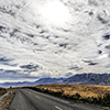
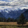
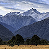
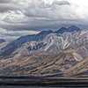
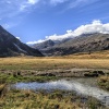
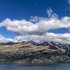
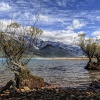
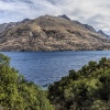
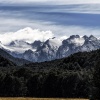
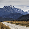
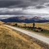
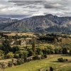
One of New Zealand’s most impressive and stunning landscapes are the Southern Alps, a range of giant mountains and large lakes. Coming from Christchurch in the east, Lake Tekapo and its backyard mountain Mount John plus its astronomical observatory already give a first impression how wonderfully scenic the southern Kiwi land can look like. Further in the west Lake Pūkaki follows, having the mighty Mount Cook, NZ’s highest elevation, sitting enthroned on its northern lakeside. Literally around the corner is Lake Ohau with its picturesque sunsets. On its southern end you can indulge yourself meandering through the crags of the Clay Cliffs, a Bryce Canyon en miniature. The final stop is Lake Wakatipu and the worldwide known Queenstown, the southern hemisphere’s fun sport capital as well as the gate to the Routeburn track.
Lake Tekapo and Mount John
The way to the south guides visitors either on State Highway along the coast or on the 70ers highways through the mountains. Latter route automatically leads along the big lakes of the Southern Alps, like for example Lake Tekapo, being the easternmost and third largest of Canterbury region’s glacier lakes.
The south island accommodates eight of New Zealand’s largest lakes. The Kiwi land has 775 lakes measuring at least half a kilometre in length. But let’s get back to Lake Tekapo. Because of its sparsely populated neighbourhood the astronomy faculty settled down on local mountain Mount John as over there the light pollution of the night sky is one of the lowest in the world.
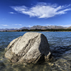
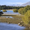
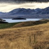
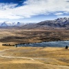
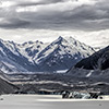
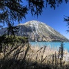
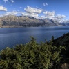
The name Tekapo derives from the Māori words “taka” standing for sleeping mat plus “po” meaning night and indeed the lake snuggles into the mountains as if someone just enrolled his mattress. The bluish shining water hole is up to 120 metres deep, 27km long, up to 6km wide and covers an area of incredible 82km2. Same-named Tekapo river has its source in the lake but before it forms a stream it needs to pass the small hydropower station at the southern end of the lake.
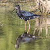
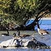
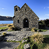
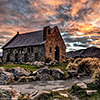
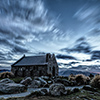
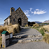
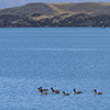
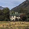
Not far from that place stand the presumably most photographed Lord’s house of New Zealand: the small Church of the Good Sheperd. Well, admittedly the little chapel is really picturesque as it is situated in front of the mountains framing the lake. The dawn that morning was pretty impressive. The rising sun set the whole sky on fire and illuminated the lake behind the church to appear Caribbean blue. The colour actually emerges from super fine glacial material inside the lake water. The place is not only inviting to humans but also to waterfowl and geese whose loud cackling fills the whole lake valley.
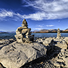
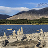
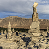
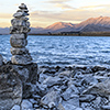
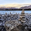
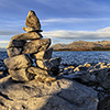
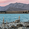
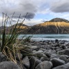
Close to the church a modern tradition is lived as people passing by Tekapo build more or less small piles of stones taken from the “beach” at the southern lakeside. Most of those piles bravely defy wind and weather, which is impressive, in particular when it comes to the heaps being as tall as a man. Maybe Germans built them ;-) That spot, being a kind of a Stonehenge en miniature, is one of the most photographed places in the Kiwi land as well and again (admittedly) I have to say that despite its artificial character it looks very beautiful when landscape poses behind those stone statues in the light of the rising or setting sun.
Tekapo’s camp site bursts at the seams that night, the people camping there do to as already from far away you can hear the songs emerging from litres of beer. I spend the night in the car sleeping in an economy class approved crouched sitting position. The morning after I unfold myself, take a couple of shots at the church and drive to Mount John. The proximity of Mount John is closed between late afternoon and morning as car lights would pollute the night sky and disturb the space observatory.
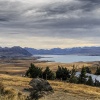
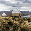
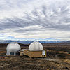
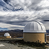
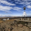
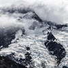
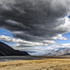
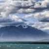
However during the day it is not a problem to get up there, enjoy the vista over the lakes and mountains plus indulge yourself in the proper food offered by the ladies running the café on the mountain top. Suddenly dense clouds appear and drift over the lake making the light looking pretty much infernal. Within minutes the whole place looks like as if humanity’s last hour had come. Together with the domes of the space observatory Mount John now appears like being out of this world.
Lake Pūkaki and Mount Cook
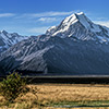
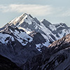
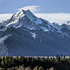
My journey goes on westwards and leads along the course of State Highway 8 where travellers automatically meet the largest glacier lake, Lake Pūkaki. Already from the southern end the king of the Southern Alps can be easily spotted, the majestic Mount Cook, New Zealand’s highest elevation. Sir Edmund Hillary, the first summiteer of Mount Everest trained here as well as on the glaciers at the west coast.
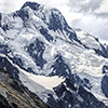
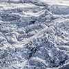
At the end of Highway 80 is a visitor centre showing, reminding and honouring the deeds of Mr. Hillary. Not far away the feeders of Lake Pūkaki merge: the off-stream of glaciers Sefton, Tasman and Hooker. The summer 2013 pretty much pressed them making the terminus of Tasman glacier going back even a kilometre.
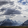
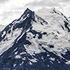
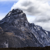
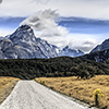
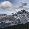
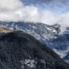
The peaks of the surrounding mountains will tip your head back where Lake Pūkaki has its northern end. Even though Mount Cook towers above everything it is the scarp face of Mount Sefton that impresses most. That wall literally closes off the valley like a huge dam and you find yourself praying that ice, snow and potential avalanches stay where they are.
A dropping jaw is also guaranteed since at the northern end of Pūkaki the southern flank of the Cook massif literally splits the place into two halfs: the Tasman glacier valley as well as the Hooker valley. Latter one’s naming sounds curious, however, the Māori call Mount Cook “Aoraki”, which derives from “Aorangi”; “ao” standing for land and “rangi” meaning sky.
Mount Cook is a dead-end for all means of transportation and where its neighbouring glaciers end, there are heaps of glacial dust. Hence you might find yourself shovelling rock powder from and out of your car in particular when you meet the world’s major league of idiot-driven camper vans speeding up there as if got stung by a viper. Whipping up dust regardless of other people and to boot ignoring all kinds of traffic signs, they block the small roads and suddenly you can find yourself in a traffic jam par excellence.
Then you are stuck in the back of beyond together with incredibly “kind” people running around headlessly and expressing their anger in all kinds of languages the world has on offer plus dust invading every pore a human body has… How wonderful! In general the valley accommodating the Tasman glacier appears lunar and won’t make into Thomas Cook catalogues as it can appear unbelievably unattractive. Everything is grey: the water, the debris of the lateral moraines, the footpaths dug in the dust; only ever inappropriately clothed tourists bring some colour to that place.
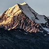
Yes, so many tourists overrun this place that at the north end of Lake Pūkaki, a name meaning something like “bunched-up waters”, you can get in traffic jam being worse than London’s M25. (There is no) Way out! Things become much more relaxed a couple of kilometres to the south where I spend the night on land tongue jutting into the lake. From there you have a splendid view to Mounts Cook, Sefton and Tasman. Though, it makes me think how far I can walk “into” the lake as the shore area is dry like Death Valley. The water is well more than 50 metres away from its normal bank line. The sunset that evening is very clear, almost cloudless, and allows the red hues to touch the bare rocks and ice cap of Mount Cook’s double peak. What a mountain!
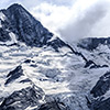
Having a short look at the Cook-massif’s other side, that is the west coast, also there giant glaciers slide down steep mountain slopes; I climbed one of them, the Fox Glacier, a couple of days later. The mountains Cook and Tasman are pretty much exposed and can be easily spotted, even from where the Tasman Sea meets the land, but most picturesque is when the mountains mirror in Lake Matheson.
In that perspective Mount Tasman dominates. Its peak reminds a little of the famous Matterhorn poking the sky while Mount Cook fades into the background as you can only notice the ridge leading from Cook’s Low to High Peak. The impressively jagged ridge forming the summit of Fettes Peak tops off the right side of that wonderful vista.
Lake Ōhau and Mount Glenmary
But let’s get back to the eastside of the Southern Alps and to Lake Ōhau being located to the west of Mount Cook and Lake Pūkaki, a place where all things called touristic bustle take a backseat, fortunately. In Māori language Ōhau means “windy place” and indeed the wind freshens up in the afternoon as if someone pushed a button. Incredible! And some gusts can be pretty strong reaching up to wind force 6-7.
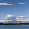
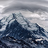
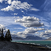
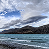
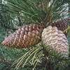
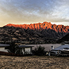
The combination of wind and a flat lake being surrounded by peaks forms normal clouds to storm clouds, some of them even become beautifully shaped lenticular clouds. They whoosh by the valley and get stuck at the peaks on the other side where the clear late summer sunset paints them lush with all kinds of intensive colour while the lake starts to glow Caribbean turquoise, literally. I decide to spend the night at the lake, but before putting up my mobile one-man home the place needs to be pruned of fist-sized pine cones. The sun sends side light through the trees, next door is the lake and the sounds of the waves, topped by a wonderful sunset… What a place to sleep! A near living Grandpa, bursting with curiosity, comes along to have a look who camps at the lake side. He grins: “I can enjoy that every day.”
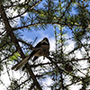
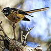
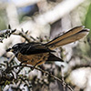
It is incredibly quiet… That perfect sunset idyll solely gets disturbed by twittering gradually coming closer and getting more intensive. A Fan Tail, wildly spreading its tail like a fan approaches me and surrounds my head like a hummingbird.
The plumed little friend hovers, no, actually dances right in front of my face from side to side all the time eyeballing me while talking talking talking… It seems as if he wants to tell me something, like Lassie giving a sitrep on seven injured people at the old oak, 500m to the left.
That game – twittering animal plus human gawking at it – lasts a while, but then the bird suddenly vanished; it escaped through the dense small branches of the larches surrounding me. Later, when I visited the bird sanctuary near Dunedin, I got to know that humans rouse insects and that is exactly what the little guy waited for: a big fat fly absconding from the German! After that the bird immediately breaks up that purposive relation.
Colour-wise the sunset at Lake Ōhau pressed every button. The ice cap of Mount Glenmary, the mountain sitting face to face at northern end of the lake, first shines as pure white as freshly brushed teeth but then step-by-step reflects the play of colour and shadows happening in the sky. To boot the lake water is capable to glow unbelievably. Amidst this stunning setting I feel like having arrived for the first time of my long New Zealand trip.
The Clay Cliffs
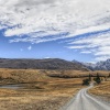
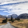
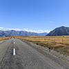
After Ōhau the further journey took me to Queenstown. The road to South New Zealand’s tourism capital leads along a surreally turquoise coloured “open sewer” having its source in Lake Pūkaki. Before flowing bluish through sun-blazed golden yellow grassland – which is something pretty much retina tickling – it has to pass a hydroelectric power plant.
Suddenly along that channel a sign showing “smoked” and “salmon” turns up. I slam on the brakes, turn around and smile even more as they sell Chinook, the king salmon. It is cold-smoked not hot but a pure delicacy either way… In that case my Kamchatka journey spoiled the rest of my life pretty much :-)
Along the route leading from the big glacier lakes to the southwest I pass a city called Omarama, which instantly makes me having a catchy tune stuck in my head as it reminds me of Bananarama. Shortly behind the city a signpost shows the way to the Clay Cliffs, an escarpment that got pretty much affected by erosion. Having the signpost on mind it is quite a surprise that the path comes to no end; not to mention the heaps of dust the car whirls up.
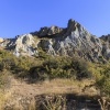
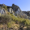
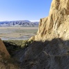
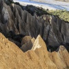
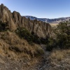
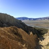
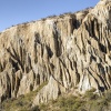
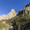
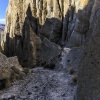
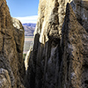
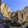
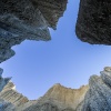
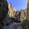
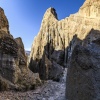
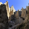
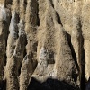
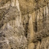
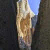
Erosion must have taken influence on the cliffs for a very long time. During the year it created something like a walk-in Bryce Canyon en miniature. Its columns and shapes shine resplendent in all kinds of earthy browns when the sun comes out, in particular in the morning hours, which is the best time to watch light and shadow battling each other among the Clay Cliff columns. Also it is very likely that you be there on your own only as despite of the signpost at SH8 not many people make it to that place.
Walking among the columns of clay is fun but at some point things become too step and for every step you do you slide back two. Same applies to the outer slopes of the mini canyon, the hill slopes where get a splendid view but where sliding back also means not only to kiss the sand but also to get an unforgettable by meeting thorn-spangled bushes.
Lake Wakatipu and Queenstown
Coming from Pukaki Queenstown is not really around the corner and what looks like being actually pretty close to each other can mean a car ride lasting several hours. The south island’s clandestine capital lies at the banks of Lake Wakatipu, being whole 378 metres deep, South New Zealand’s second largest lake plus shrouded in quite some Māori legends.
Due to so many myths its name derivation is not clear too. Some myths mention a trough and a goblin, other legends tell stories about Te Raikaihaitu, the Māori God and pioneer who dug out the large lakes of the Southern Alps. No matter what finally really happened, it left The Remarkables behind, an impressive mountain range and ski area to the south of Queenstown.
The city itself has got only 10.000 inhabitants but can be surprisingly noisy, in particular at night. Nowhere else in New Zealand but in Queenstown I woke up feeling like being more run over by a truck than over there. Also the city confronts visitors with quite a level of prices, in particular for accommodation and food. Speaking of food: When asking around for that then there is nobody not interrupting you saying “FergBerger”; stopping there for a bite to eat and having a barbarically huge burger is really awesome, in particular after coming back from a calorie-sapping mountain walk :-)
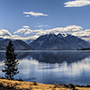
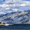
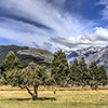
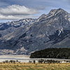
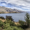
When driving to the northern end of Lake Wakatipu you pass the small town of Glenorchy, serving serves many people departing on a hike on New Zealand’s famous Routeburn Track as gateway. Again it is a lovely day. Again there are only a few fair weather clouds in the blue sky. Their shadows move over the mountain range framing the lake. The water looks deep blue and pretty much refreshing. Summer has quite a lock on South New Zealand. To visitors that’s quite appealing but for the farmers and the sun-blazed grassland at Mount Earnslaw it is a plague.
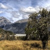
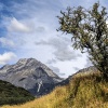
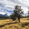
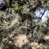
The thorn-spangled knobby trees standing amidst the golden yellow meadows are a paradise for kinds of lichens and moss and let them appear as if next second they start talking to you, as if they were taken directly from the movie “The Lord of the Rings”. Also here, at the Mount Earnslaw, the presence of glaciers is perceptible.
They cool down the airstreams whipping over the summits, make them fall down and whirl up powdered rocks and to boot the mountain range framing Lake Wakatipu serves like a blast pipe. Four words say everything: dust in your face.
Not far from the big lakes of the Southern Alps two other highlights waited for me: on the one hand meandering through the arms of the Doubtful Sound where I met wild albatrosses, the winged masters of the sky, and on the other hand a fascinating climb through the ice shapes of the Fox Glacier.
